I’m not gonna lie: When it comes to private projects, I jump from one task to the other just as it fits me. After all, it’s a private project and the main goal here is the fun.
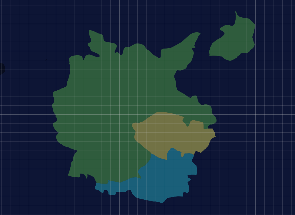
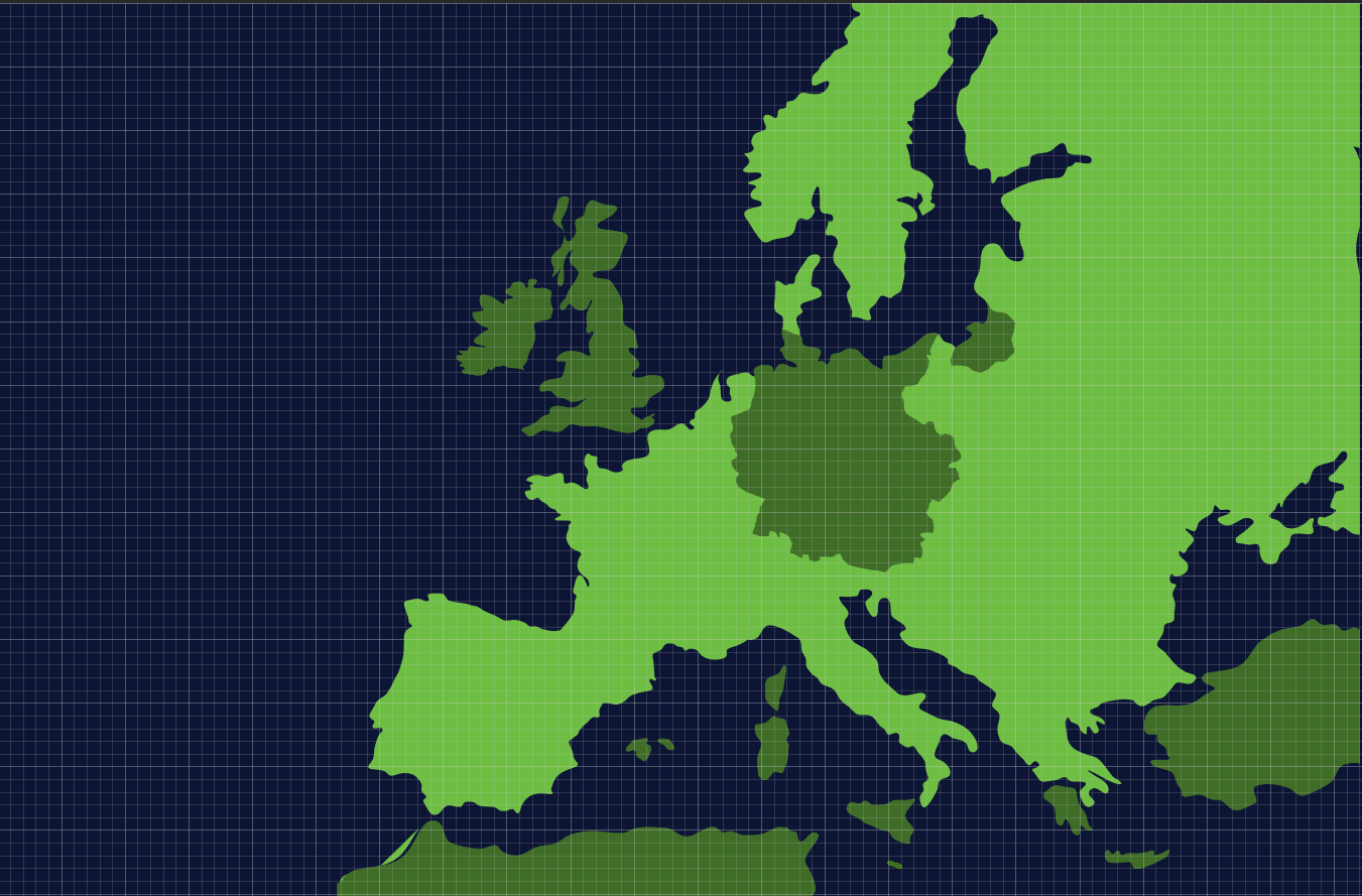
That being said, I started to work on a map of Europe from the year 1939. I just took a random map from the Google image search and started to draw a vector map from it, and then slicing the countries out of it. For example, these are some countries:

With this material, I can draw an interactive card of the Second World War while the game progresses.


Leave a Reply